Topics & Niches
Top Gis Websites
Browse live examples related to Gis, then open the strongest domains to inspect traffic, SEO, business posture, and trust signals in more detail.
Cluster total
80
Use the full cluster to move from a broad theme into a smaller report shortlist.
Cluster coverage
23 with traffic data
Traffic coverage tells you how many sites in view already support stronger prioritization work.
Fastest analyst move
Open arcgis.com
Then compare it with openstreetmap.org to tell whether the first result is representative.
Sort:
#1.8K rank60/100 trust
arcgis.com
Live site data
arcgis.com
GISmappinggeospatial
arcgis.com
24.7M/mo
#2.7K rank90/100 trust
openstreetmap.org
Live site data
OpenStreetMap is a map of the world, created by people like you and free to use under an open license.
open sourcemappingcrowdsourcing
openstreetmap.org
8.1M/mo
#136.9K rank80/100 trust
avenza.com
Live site data
Desktop mapping and cartography tools in MAPublisher and Geographic Imager and mobile mapping with Avenza Maps
GIScartographymapping software
avenza.com
352K/mo
#166.3K rank70/100 trust
atlas.co
Live site data
Atlas | Operational GIS Platform for Teams
GISmappinggeospatial
atlas.co
262K/mo
#354.9K rank70/100 trust
agilitygis.com
Live site data
Agility GIS - AgilityGIS
GIScloud platformautomation
agilitygis.com
84K/mo
#404.7K rank45/100 trust
arcgisonline.com
Live site data
arcgisonline.com
GISmappinggeospatial
arcgisonline.com
93K/mo
#557.6K rank80/100 trust
arcgisonline.nl
Live site data
Deze pagina geeft een overzicht van alle producten van Esri Nederland B.V.
GISmappingspatial analytics
arcgisonline.nl
19K/mo
#858.7K rank65/100 trust
asig.gov.al
Live site data
ASIG është institucion publik qendror dhe e ushtron aktivitetin e tij bazuar në ligjin nr. 72/2012, datë 28.06.2012, “Për organizimin dhe funksionimin e infrastrukturës kombëtare të informacionit gjeohapësinor në Republikën e Shqipërisë
geospatialgovernmentmapping
asig.gov.al
36K/mo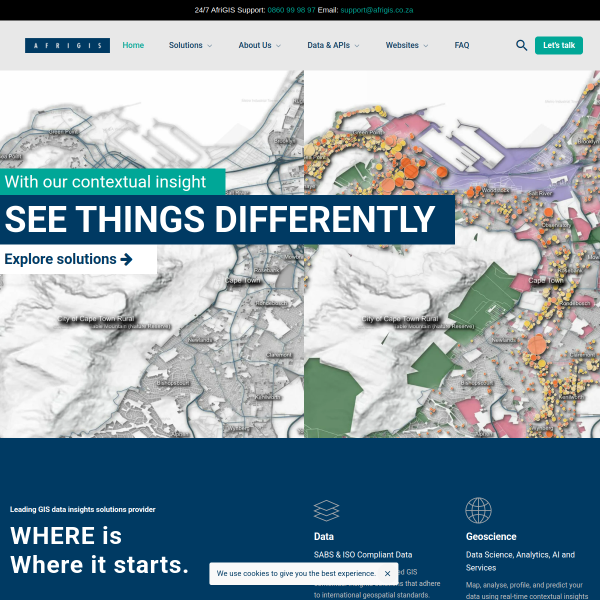
#866.6K rank70/100 trust
afrigis.co.za
Live site data
Afrigis is a leading GIS contextual insights solutions provider in Africa. Enable more intelligent competitive edge decision-making.
GISgeospatialmapping
afrigis.co.za
35K/mo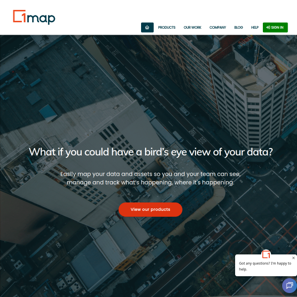
#869.1K rank80/100 trust
1map.co.za
Live site data
User-friendly and collaborative web map solutions that let you uncover insights and opportunities while streamlining your operations.
web mappingGISdata visualization
1map.co.za
27K/mo
#885.7K rank75/100 trust
acolita.com
Live site data
Sistemas de Información Geográfica
GISQGISArcGIS
acolita.com
36K/mo
#972.9K rank75/100 trust
astuntechnology.com
Live site data
Home - Astun Technology
geospatialcloud computingdata management
astuntechnology.com
9K/mo
#976.6K rank75/100 trust
apollomapping.com
Live site data
Apollo Mapping offers 60+ high & medium-resolution satellites & DEMs from 19 operators with completely free online searches @ ImageHunter.com
satellite imagerygeospatial dataremote sensing
apollomapping.com
34K/mo
#1.3M rank65/100 trust
arcgis.app
Live site data
Esri’s GIS software is the most powerful mapping & spatial analytics technology available. Learn about Esri’s geospatial mapping software for business and government.
GISMappingSpatial Analytics
arcgis.app
23K/mo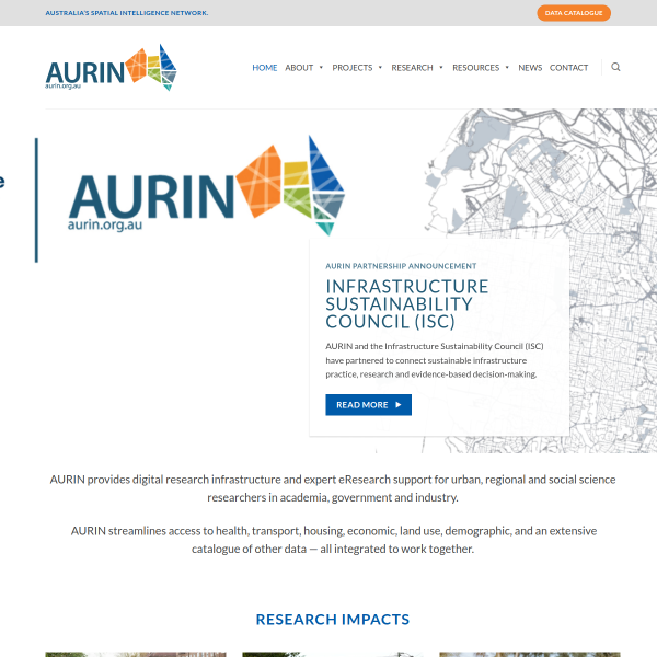
#2.2M rank70/100 trust
aurin.org.au
Live site data
AURIN facilitates access to hard-to-get data and support, technical and scientific expertise with hard-to-do analysis relating to Australia’s urban and infrastructure systems for researchers, government policymakers, and industry.AURIN addresses 3 critical challenges faced by decision-makers: climate change, demographic shifts, and the transition to renewable energy.AURIN streamlines access to a wide range of critical datasets (including health, transport, housing, economic, land use, and demographic data) and integrates them into a platform where they can be accessed by authenticated Australian researchers.
spatial intelligenceurban researchdata infrastructure
aurin.org.au
10K/mo
#2.3M rank70/100 trust
andes.nl
Live site data
Andes – Software & Geodata – Andes – Software & Geodata
geodatasoftwareLTC
andes.nl
10K/mo
#2.4M rank55/100 trust
apex-rms.com
Live site data
apex-rms.com
ecological modelingconservation planningenvironmental software
apex-rms.com
8K/mo
#3.2M rank55/100 trust
3-gislive.com
Live site data
3-gislive.com
GISmappinggeospatial
3-gislive.com
6K/mo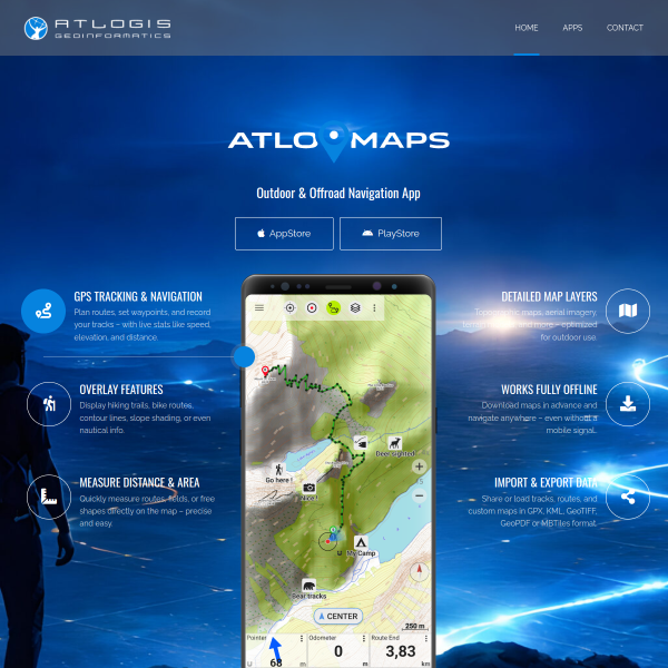
#3.3M rank75/100 trust
atlogis.com
Live site data
Satellite images, vector maps, topographic maps for Web-GIS and GPS
satellite imageryGISmapping
atlogis.com
8K/mo
#6.2M rank55/100 trust
atkinsgeospatial.com
Live site data
atkinsgeospatial.com
geospatialengineeringconsulting
atkinsgeospatial.com
3K/mo
#12.0M rank65/100 trust
arcspace.jp
Live site data
top [ARC-Space]
space informaticsresearch centeruniversity
arcspace.jp
2K/mo
#12.4M rank40/100 trust
arcgisonline.co.nz
Live site data
arcgisonline.co.nz
GISmappinggeospatial
arcgisonline.co.nz
205/mo
#13.4M rank55/100 trust
adtollo.nu
Live site data
Topocad
CAD softwareGISmapping
adtollo.nu
1K/mo
65/100 trust
bluemarblegeo.com
Live site data
Advanced GIS mapping and geodetic software including Global Mapper, LiDAR analysis, and Geographic Calculator. Instantly start a free trial.
GISMapping SoftwareGeospatial
bluemarblegeo.com
PreviousNext Page
FAQ
Questions about Gis
These pages should help visitors understand both the list itself and the next best navigation move.
What can I learn from the Gis topic page?
Use this page to scan websites connected to Gis, open the strongest candidates, and compare their detailed report modules before making a decision.
What is the difference between a topic page and a category page?
A topic page is more editorial and audience oriented. It is useful when you care about niche intent and content themes more than formal business classification.
How should I use topic pages in a research workflow?
Start with the topic, identify standout domains, then use the report modules to judge authority, monetization posture, and technical sophistication.